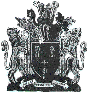
The Cheshire Coat Of Arms
Motto:
JURE ET DIGNITATE GLADII
(By the law and dignity of the sword)
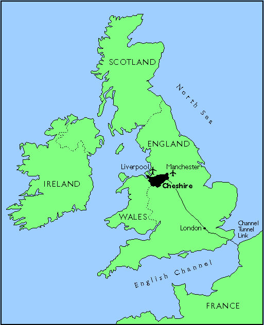
Cheshire's location and boundary
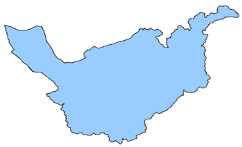 |
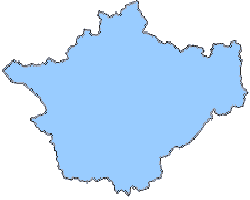
Cheshire before 1974. At the time Cheshire included the Wirral in the west of the County and places such as Stockport, Hude, Stalybridge, Cheadle, Bramhall and Altrincham in the northeast of the County. The Manchester Ship Canal defined the boundary between Cheshire and Lancashire. |
 |
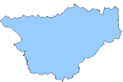
Cheshire from 1974 to 1998. Local government was re-organised in 1974 and many boundaries were redrawn. The Wirral became a metropolitan borough in Merseyside. Many places in the northeast of the county also became metropolitian boroughs within Greater Manchester. However Runcorn and Warrington became borough councils in Cheshire. Note: The CCAA caters to this definition of Cheshire |
 |
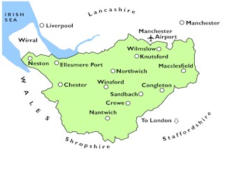
Cheshire from 1998 to 2009. In April 1998 Warrington and Halton (which covers Widnes and Runcorn) became unitary councils separate from the administrative county of Cheshire in terms of local government service provision. Cheshire still covers from Neston in the west to Disley in the northeast, Alsager in the southeast, and from Audlem and Malpas in the south to High Leigh and Frodsham in the north. |
 |
Cheshire today Cheshire's administrative boundaries changed again in April 2009. Cheshire County Council and its constituent district and borough councils were superseded by Cheshire West and Chester Council and Cheshire East Council. |